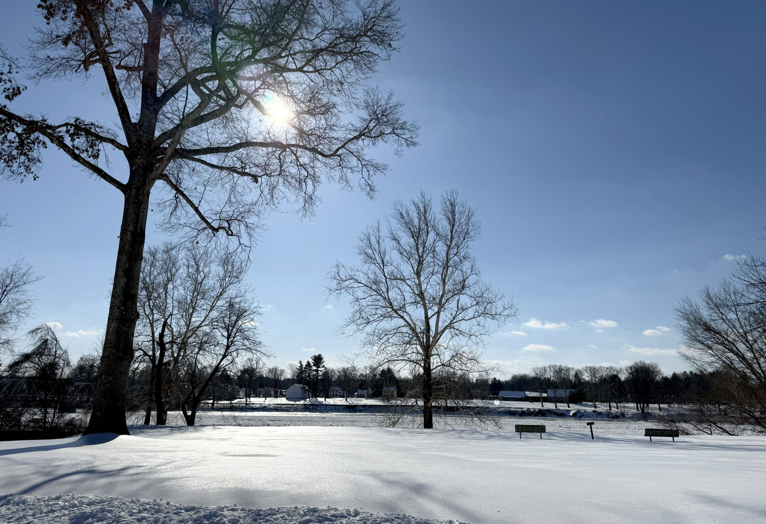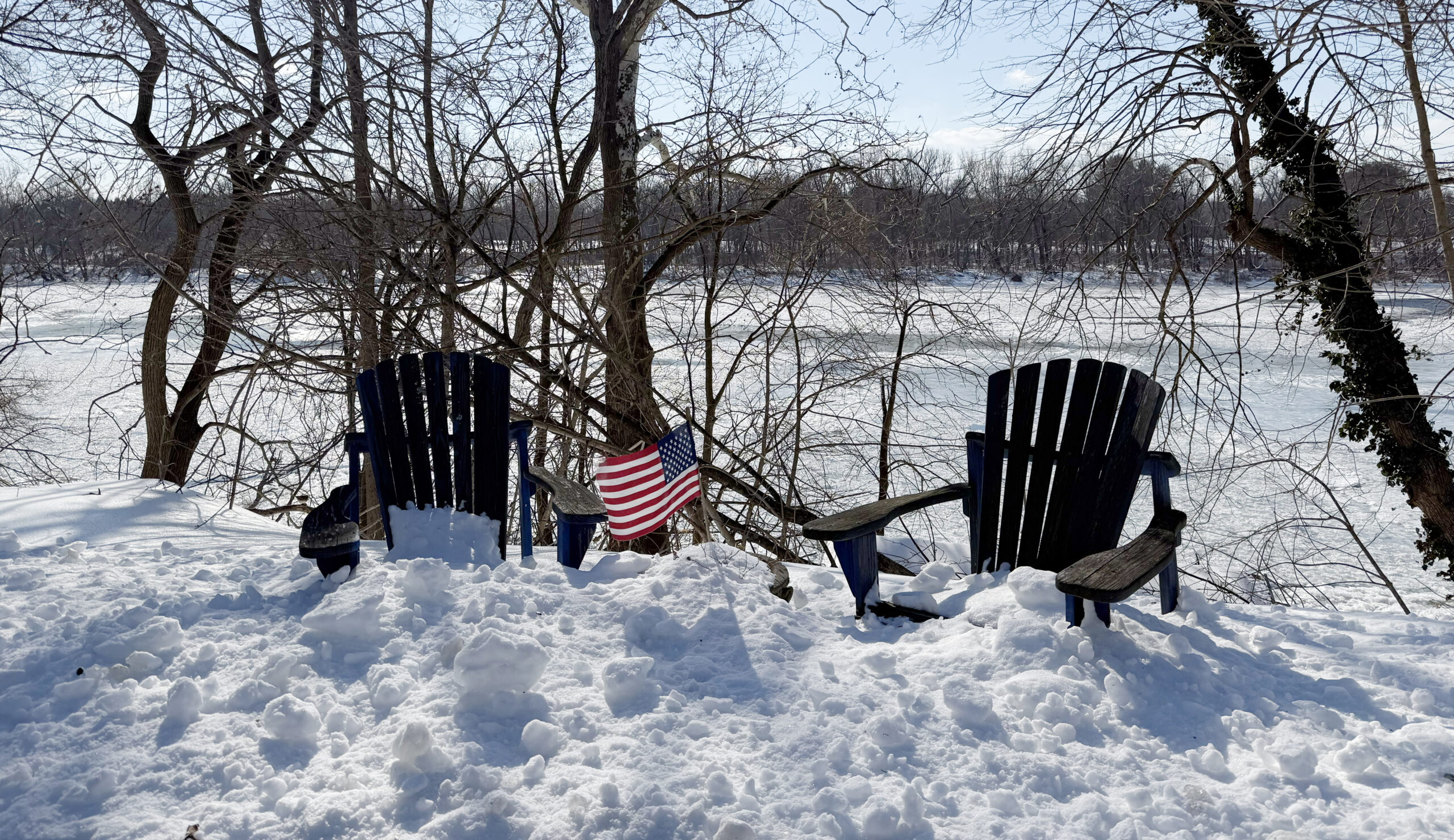
Hopewell Valley and surrounding communities are settling into the aftermath of last week’s snowstorm, with residents still digging out and a prolonged stretch of dangerous cold now becoming the region’s primary weather story.
According to the latest National Weather Service briefing, temperatures are expected to remain well below freezing through the weekend and into early next week, with air temperatures generally in the teens and 20s and nighttime lows dropping into the single digits or below zero.
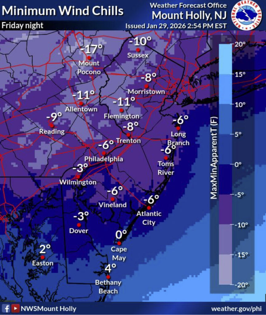
Wind chills between 0°F and -20°F are expected across the region, creating an elevated risk of hypothermia and frostbite during prolonged outdoor exposure. The single digit morning temperatures may have the region setting new low temperature records for this time of year.
Snowstorm Aftermath Still Visible Across the Valley
Across Hopewell Valley, the storm’s impact remains visible days later with the temperatures helping preserve the snowpack. It is so cold that the sun is not helping to melt anything, and the National Weather Service warns that daytime melting followed by nighttime refreezing could increase black ice risk on untreated surfaces.
The prolonged freeze also means travel hazards may persist even after main roads are cleared.
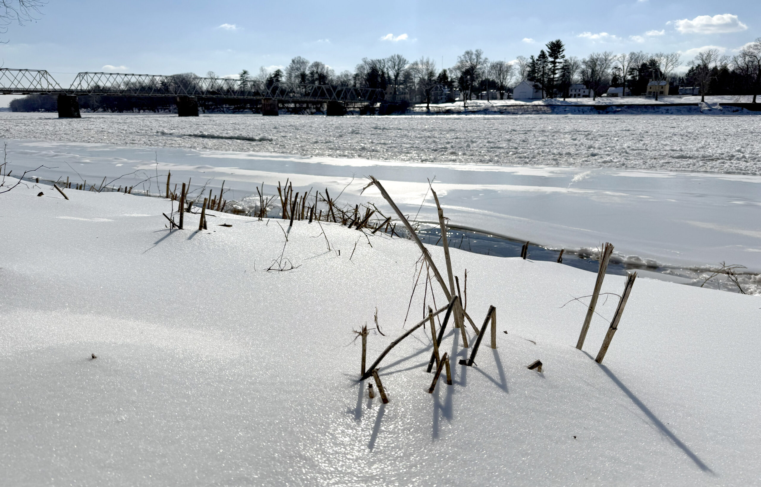
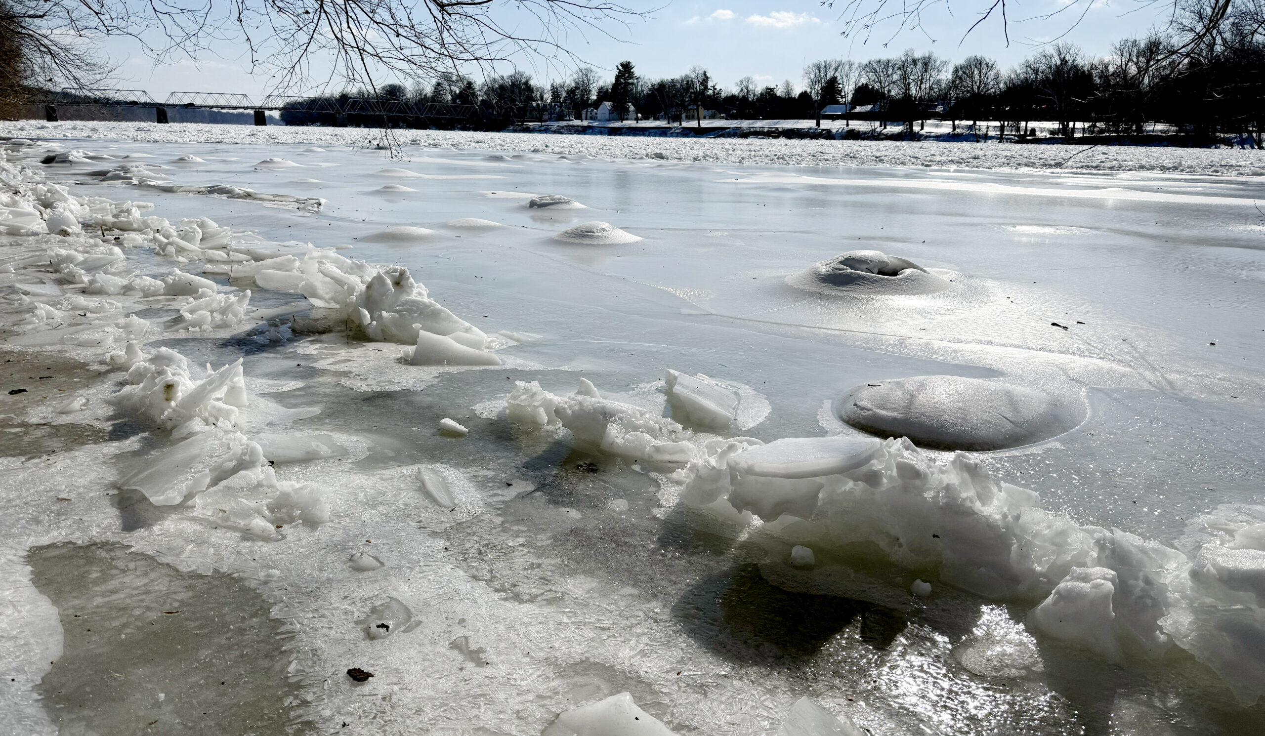
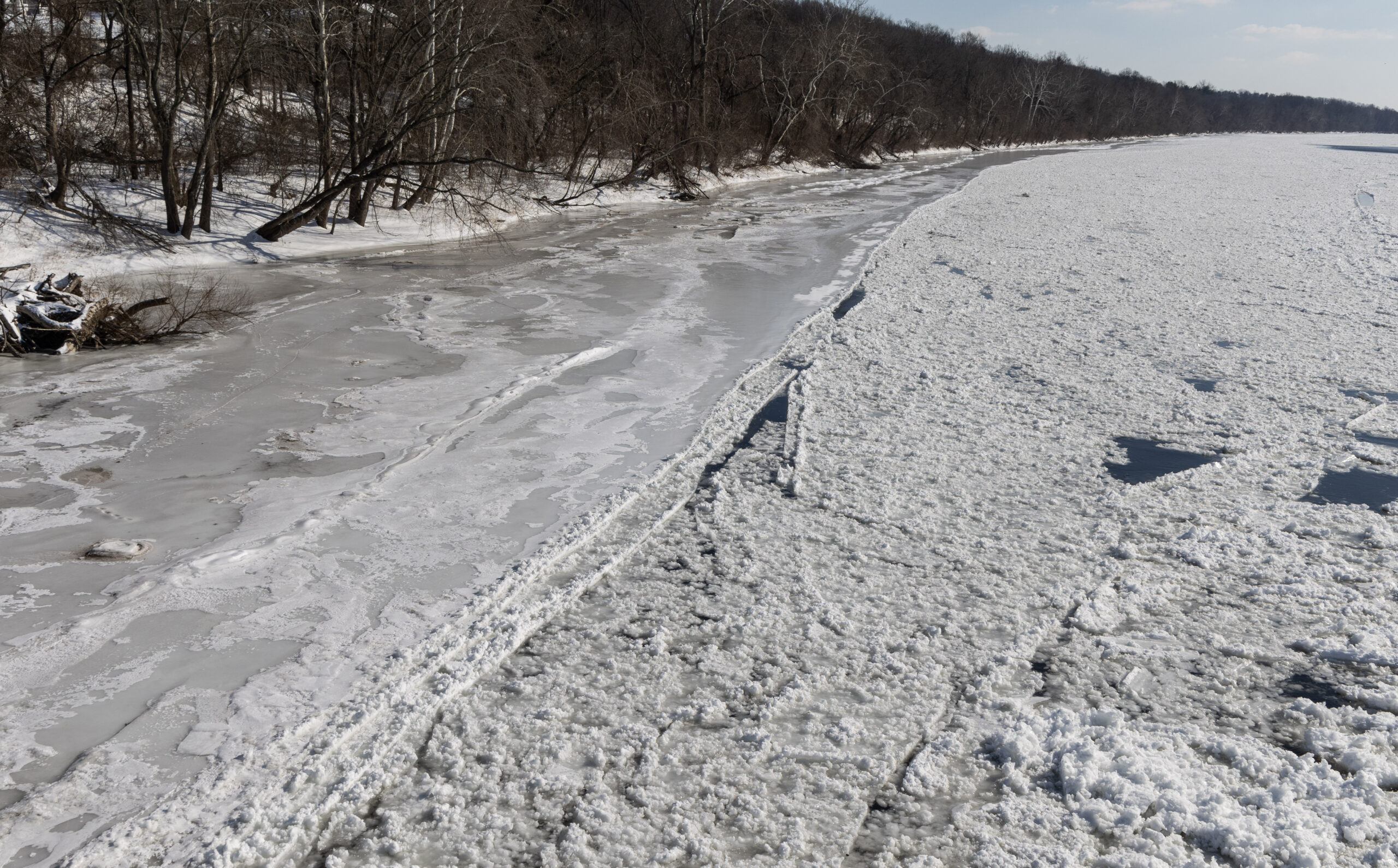
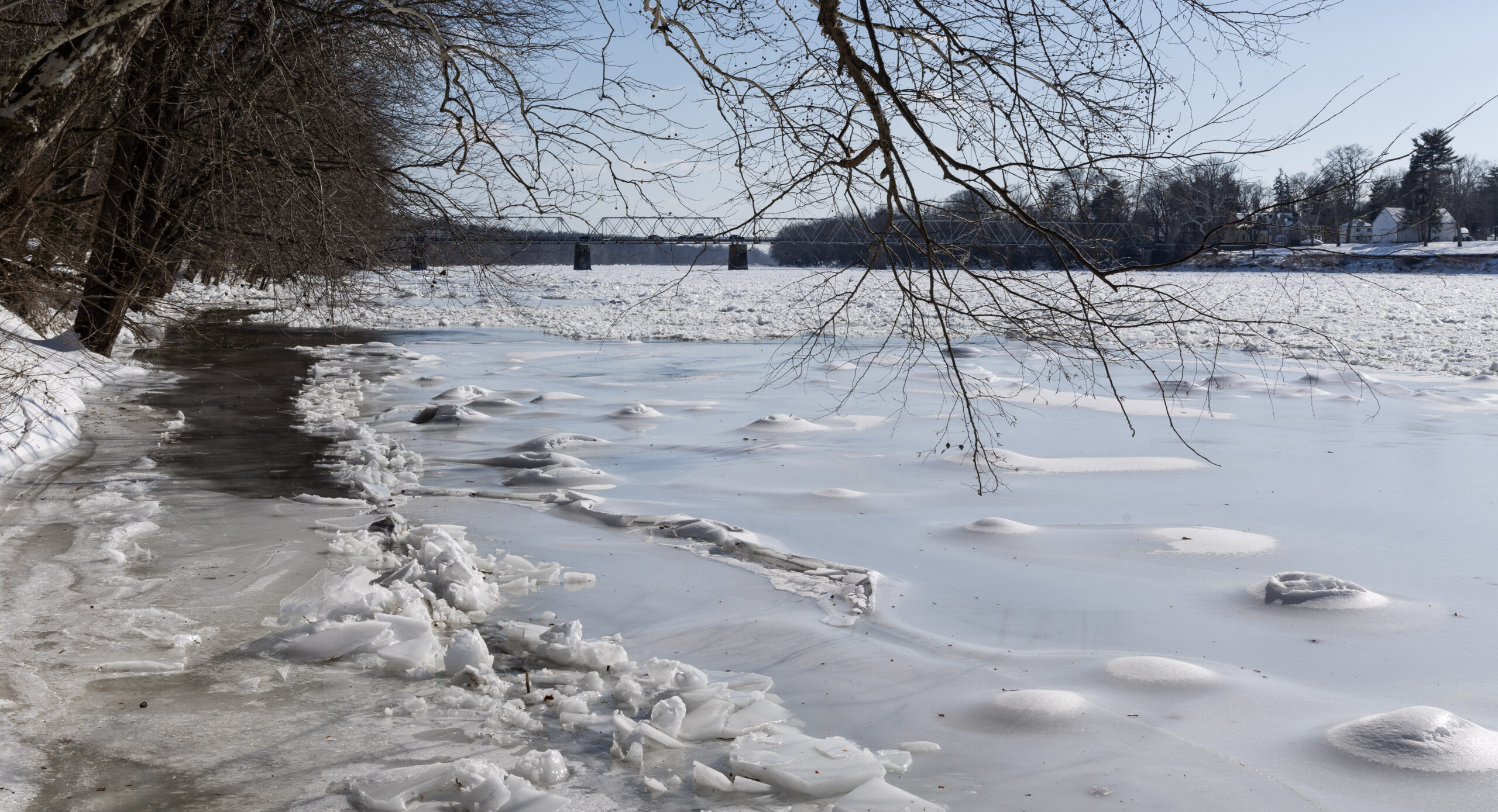
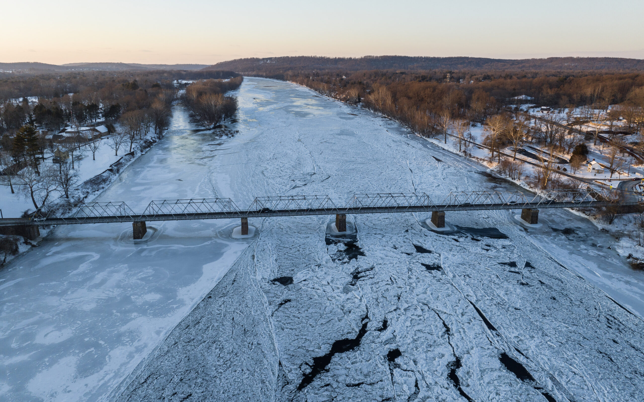
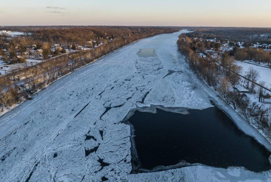
Ice Forming Along the Delaware River
The sustained cold is now visibly transforming the Delaware River.
The National Weather Service says air temperatures in the teens and 20s are expected to drive continued ice development along the tidal Delaware River, Delaware Bay, and nearby back bays — potentially rivaling conditions seen during the severe ice season of January 2018.
Ice buildup can create navigation hazards and may alter river flow patterns if large sheets begin to move or stack.
Cold Expected to Persist, With Slow Warmup Ahead
Forecasters expect temperatures to remain below freezing through at least early next week, with only a slow warming trend developing afterward. Even then, highs are expected to remain below normal, with daytime temperatures only reaching the low to mid 30s.
Several consecutive nights of single-digit temperatures and below-zero wind chills are expected before any meaningful warming arrives.
Officials also warn the extended cold stretch could strain energy systems as heating demand remains elevated across the region.
What Comes Next
Forecasters are also monitoring the potential for another coastal weather system this weekend, though confidence remains low on exact impacts or track.
For now, the primary story remains the cold and at least several more days of true midwinter conditions.