After a brief pause in winter’s coldest stretch, dangerously cold air is returning to the region this weekend, with the National Weather Service upgrading its alert to an Extreme Cold Warning for Saturday into early Sunday.
According to the National Weather Service’s Philadelphia/Mount Holly office, the combination of strong winds and very cold temperatures will produce wind chills between -10 and -20 degrees, with the coldest conditions expected late Saturday night into Sunday morning. Prolonged sub-freezing temperatures are expected to persist into early next week, increasing risks to both people and infrastructure.
Light Snow Friday Night
Before the coldest air arrives, the region could see light snowfall Friday night into early Saturday. Snow may begin as early as 7 p.m. Friday and taper off by around 7 a.m. Saturday, with the most likely accumulation occurring between midnight and 6 a.m.
Snowfall amounts are expected to range from a coating to around one inch, but forecasters caution that brief snow squalls are possible early Saturday morning. Even with light accumulation, gusty winds and reduced visibility could make travel hazardous in spots.
Strong Winds and Dangerous Wind Chills
Behind the snow, northwest winds will increase rapidly early Saturday, with sustained winds of 20 to 35 mph and gusts reaching 40 to 60 mph through Saturday evening. While the highest gusts are expected closer to the coast, inland areas — including the Hopewell Valley — could still see gusts strong enough to bring down tree limbs and cause scattered power outages.
The National Weather Service warns that the combination of high winds and extreme cold could become especially dangerous if power outages occur, increasing the risk of exposure and frozen pipes.
Cold Lingers Into Early Next Week
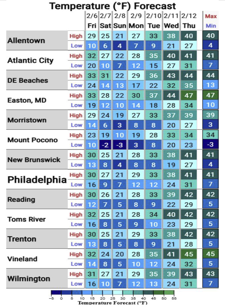
While winds will gradually ease late Saturday night into Sunday, very cold wind chills will persist through Sunday, with “feels like” temperatures hovering between 0 and -10 degrees. Below-normal temperatures are expected to continue into early next week before a gradual moderation begins later in the week.
Looking further ahead, forecasters say temperatures may trend closer to — or slightly above — normal by the middle to end of next week, with daytime highs returning to the upper 30s and low 40s.
What Residents Should Know
Weather officials urge residents to:
- Limit time outdoors during the coldest periods
- Dress in layers and cover exposed skin
- Check on elderly neighbors and those without reliable heat
- Take precautions to protect pets and prevent frozen pipes